John Allen lived at Ballinoroher Castle, a tower house near Timoleague, in County Cork in the 17th century. His home was said to be five miles closer to Bandon than William Morris’ house Castlesalem. Contemporary maps and learning about distances in 17th century Ireland helped make sense of this.
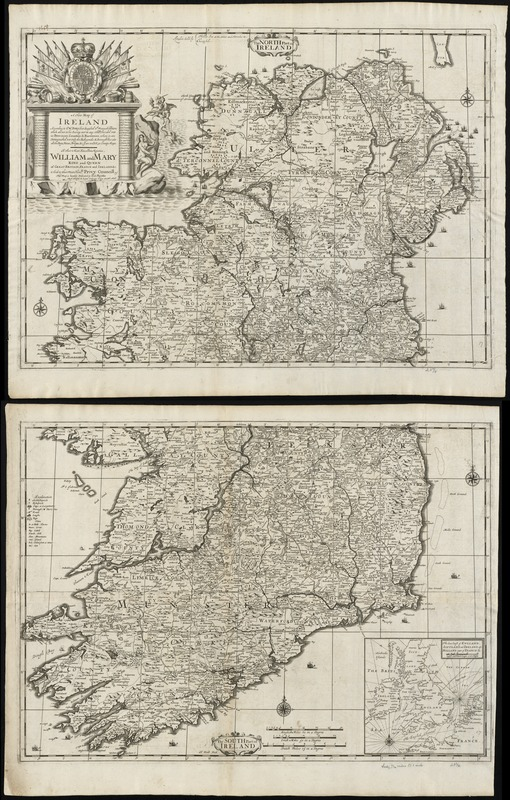
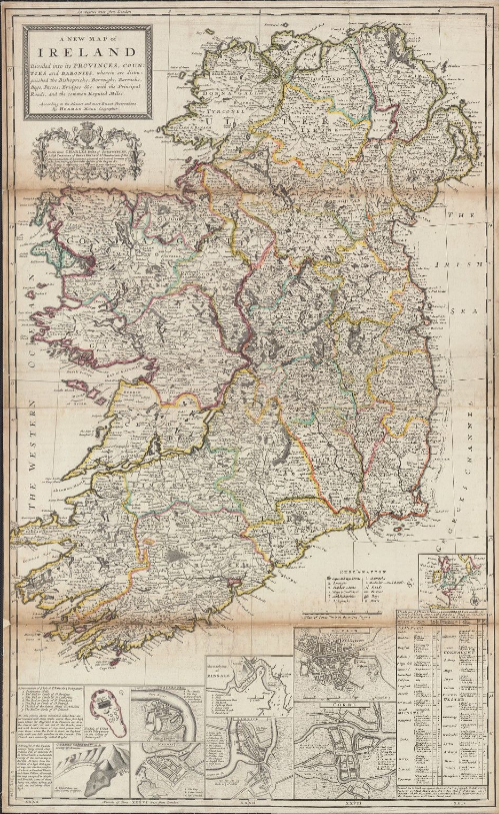
Petty published two maps of Ireland, one in 1695 and one in 1714. Both maps show the distance between places and in 1714 the milage is said to be “the common Reputed Miles” or the distance commonally agreed upon by locals. The five miles between Castlesalem and Ballinoroher Castle appears to have been determined by the milage between the towns closest to them: Rosse and Clonekillty.
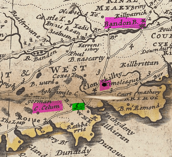
This clip from the 1714 map shows the places mentioned with John’s castle indicated by the black dot highlighted in pink to the left of the word Timoleague. The milage is highlighted in green. Castlesalem is refered to as C. Celum.
Stay tuned for some of the history of Ballinoroher Castle.
Sources:
Phillip Lea and Herman Moll, A new map of Ireland according to Sr. W. Petty (but supplied wth. many additions… (London: u.p., 1695); digital image, Leventhal Map Education Center at the Boston Public Library (https://collections.leventhalmap.org/search/commonwealth:cj82kz301 : accessed 3 Sep 2024).
Herman Moll, A New Map of Ireland… (London: T. Bowles, 1714); digital image, Yale University Library Digital Collections (https://collections.library.yale.edu/catalog/15352110 : accessed 3 Sep 2024).
